AZBill
Well-Known Member
- First Name
- Bill
- Joined
- May 26, 2021
- Threads
- 12
- Messages
- 1,990
- Reaction score
- 2,318
- Location
- Arizona
- Vehicles
- MME CA Route 1, Hummer EV SUT, Escalade IQ
- Occupation
- Retired
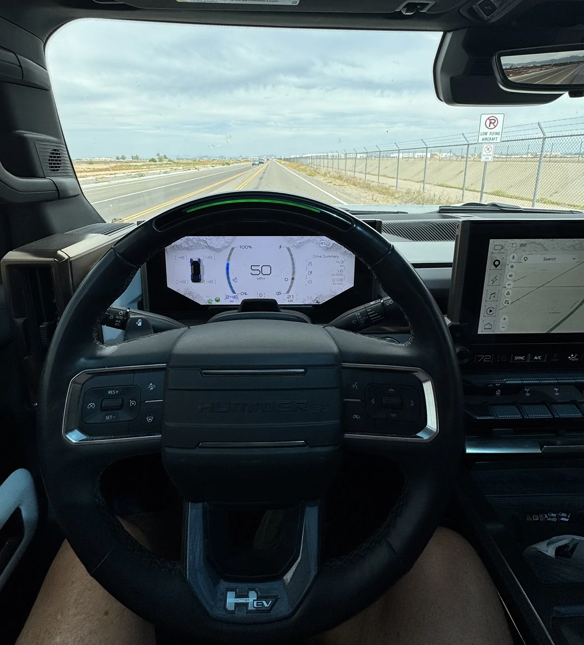
This statement is incorrrect. GM uses sensor fusion with cameras, radar and GPS/Lidar created maps. The camera is the main sensor used to find the lane lines. The main reason for maps is to meet the safety case for hands free driving (L2 ADAS), just as Ford does. Camera based systems use a perception algorithm and these algorithms have uncertainty, that is why there is a need for hands on, without the map data to provide a safety monitor. The driver is the short term safety monitor.GM is a map focused philosophy, and while Ford is sensor focused
GM is implementing an additonal Lidar sensor on the MY 28 Escalade, and will allow not just hands off, but also eyes off at that time. Again, to do this the safety case is more stringent, thus the need for an addtional dissimilar sensor.
Sponsored
 ) not some ‘twice a year’ road trip that the new Mach E can do hands on just like the Hyundais