jwhamlin244
Well-Known Member
- Thread starter
- #1
Hey all,
I don't have bluecruise yet.
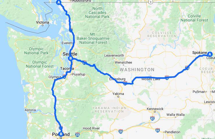
I plan on making a crowdsourced 'blue zone' map, so when the OTA does come, people can have a good estimation of which roads will be enabled.
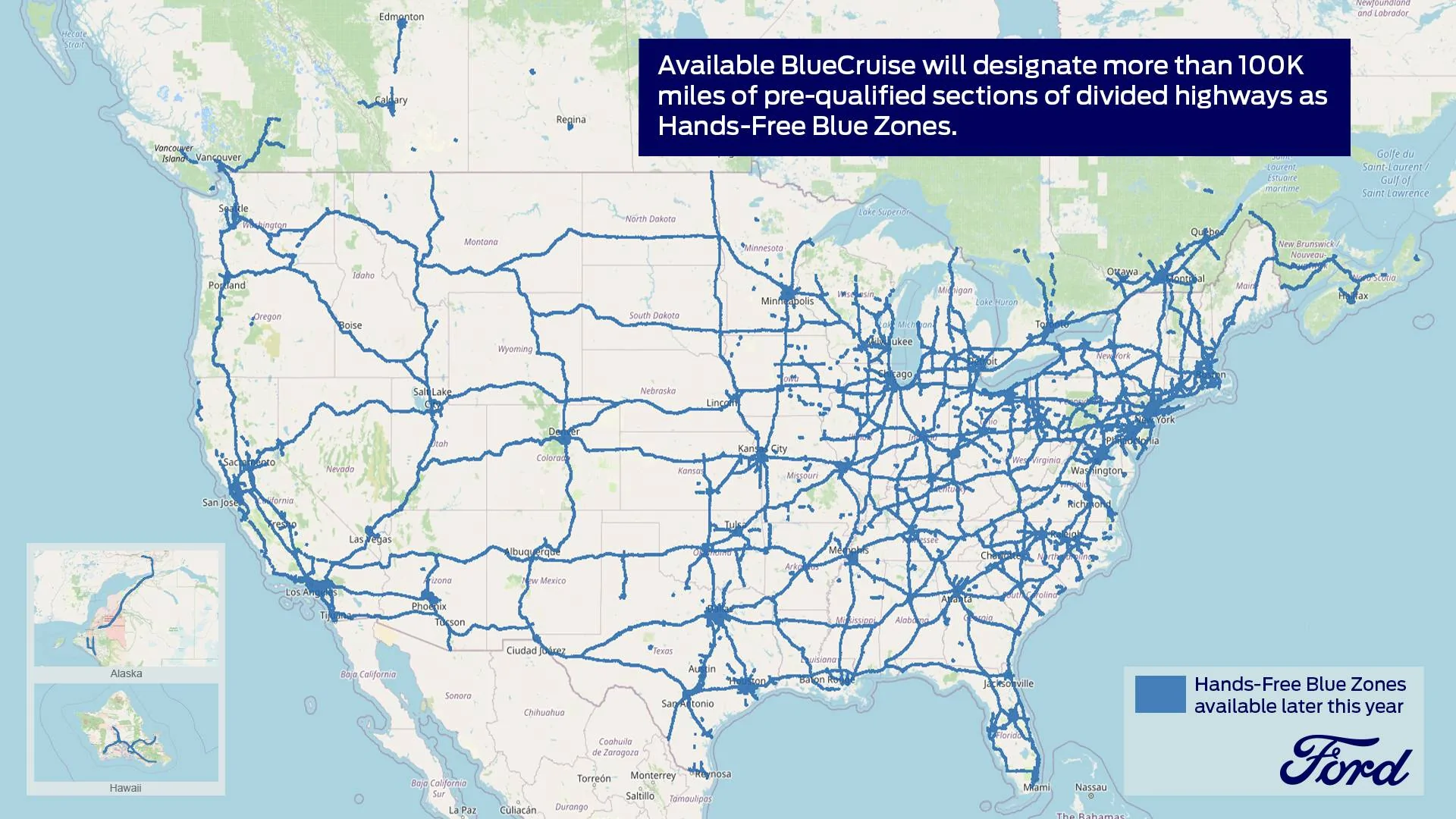
Hopefully with enough data points, this can be a higher fidelity than the lo-res jpg that ford offers.
If folks can reply with places they've seen its active, I'll continuously update this map.
I think it'll be best to stay relatively high level, like 'between exits 5 and 10' rather than excluding specific curves where it'll ask you to put hands on the wheel. Just to keep things manageable to start.
https://www.google.com/maps/d/edit?mid=1WZJ2Ghy98wP-BcA4VbVd4-rnXPBXeUdc&usp=sharing


I don't have bluecruise yet.
I plan on making a crowdsourced 'blue zone' map, so when the OTA does come, people can have a good estimation of which roads will be enabled.
Hopefully with enough data points, this can be a higher fidelity than the lo-res jpg that ford offers.
If folks can reply with places they've seen its active, I'll continuously update this map.
I think it'll be best to stay relatively high level, like 'between exits 5 and 10' rather than excluding specific curves where it'll ask you to put hands on the wheel. Just to keep things manageable to start.
https://www.google.com/maps/d/edit?mid=1WZJ2Ghy98wP-BcA4VbVd4-rnXPBXeUdc&usp=sharing
Sponsored
Last edited:
")